Pemi Loop: An Amateur Attempt at this Classic Loop by Brian Ibbs
Date: June 24th, 2016
Location: Pemigewasset Wilderness, NH
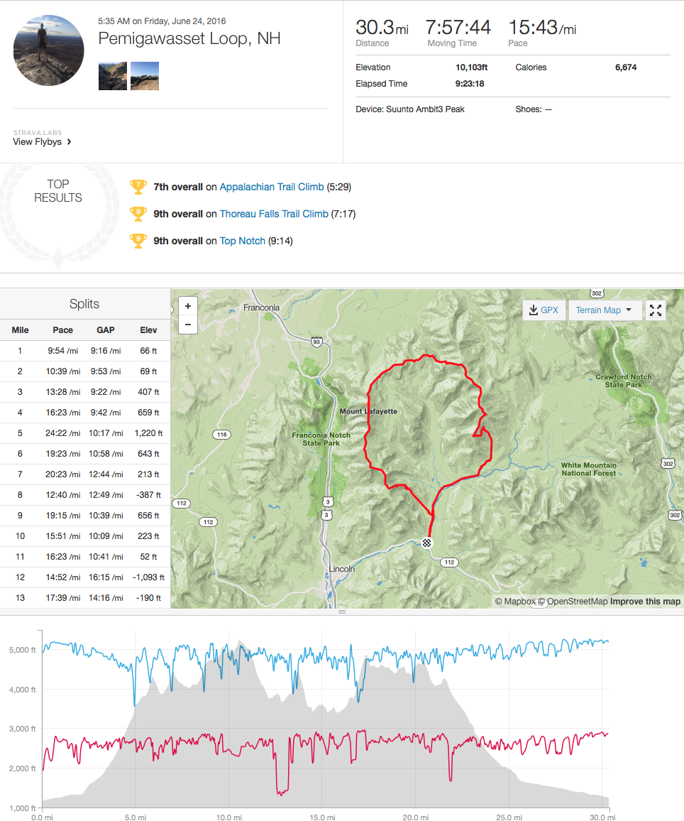
Adventure: Pemi Loop, 31 Miles, 10,000 feet elevation gain
Headed up 93 Northbound in New Hampshire with Karl Loops to a seedy side road motel on a Thursday night began what proved to be a kick ass adventure. Room 13 turned out to be a dive and a centipede scurried off, prompted by the abrupt light when Karl rolled back the sheets. 11PM…Karl chuckles, hands me a frosty IPA and we began the pre 50K routine…..Stay up late, drink beer, question your gear choices, trade stories, get up at 3:30AM, eat cold oatmeal, slam a shot of espresso, pay homage to the porcelain throne and get on the road.

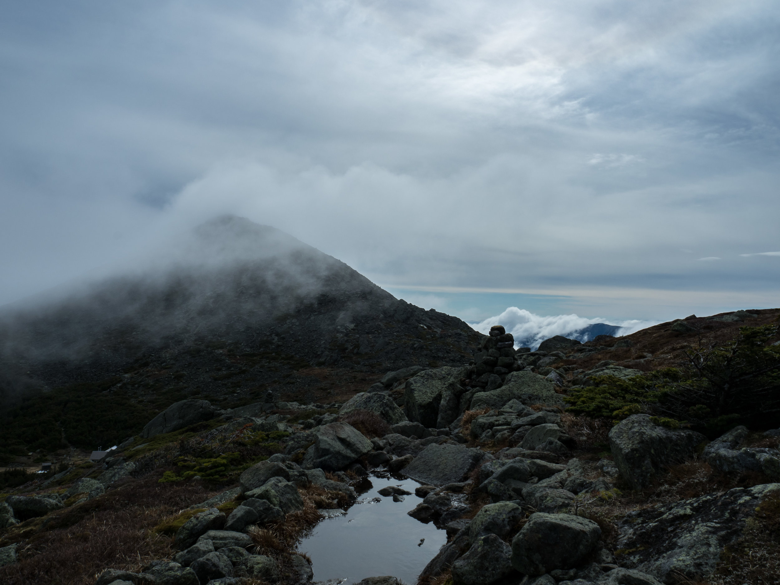
We parked at the Lincoln Woods Visitor Center on “The Kank” for 3 bucks, did final gear checks and stepped off at 4:34. We both had a 10-hour target in mind and we opted for the (traditional) clockwise loop to get a lot of the climbing accomplished in the first half of the day. We overshot the left turn on Osseo Trail toward Flume in the dark but were back on course quickly getting warmed up for the climbs ahead. It wasn’t long before we started on the long ascent up to Flume hitting some ladders along the way and the sun began to peek. Summiting the first peak early gave us some motivation and we experienced some awesome ridge running all the way until the descent to Garfield Pond. Karl and I, both relative newbies on the running scene, found the terrain on the descents pretty challenging to make good time on.

We hit the AMC Galehead Hut (a must), gave ourselves a 10-minute limit; downing some lemonade, coffee, a cookie, some bread, another lemonade and topped off the water. Karl must have found something at the Hut that I didn’t see because he was on a tear up South Twin! I tried to speed up passing hikers and Karl’s calves just gave me the finger and kept pumping! He put about 30 seconds between us on that climb.

The Hut (about 17ish miles in)
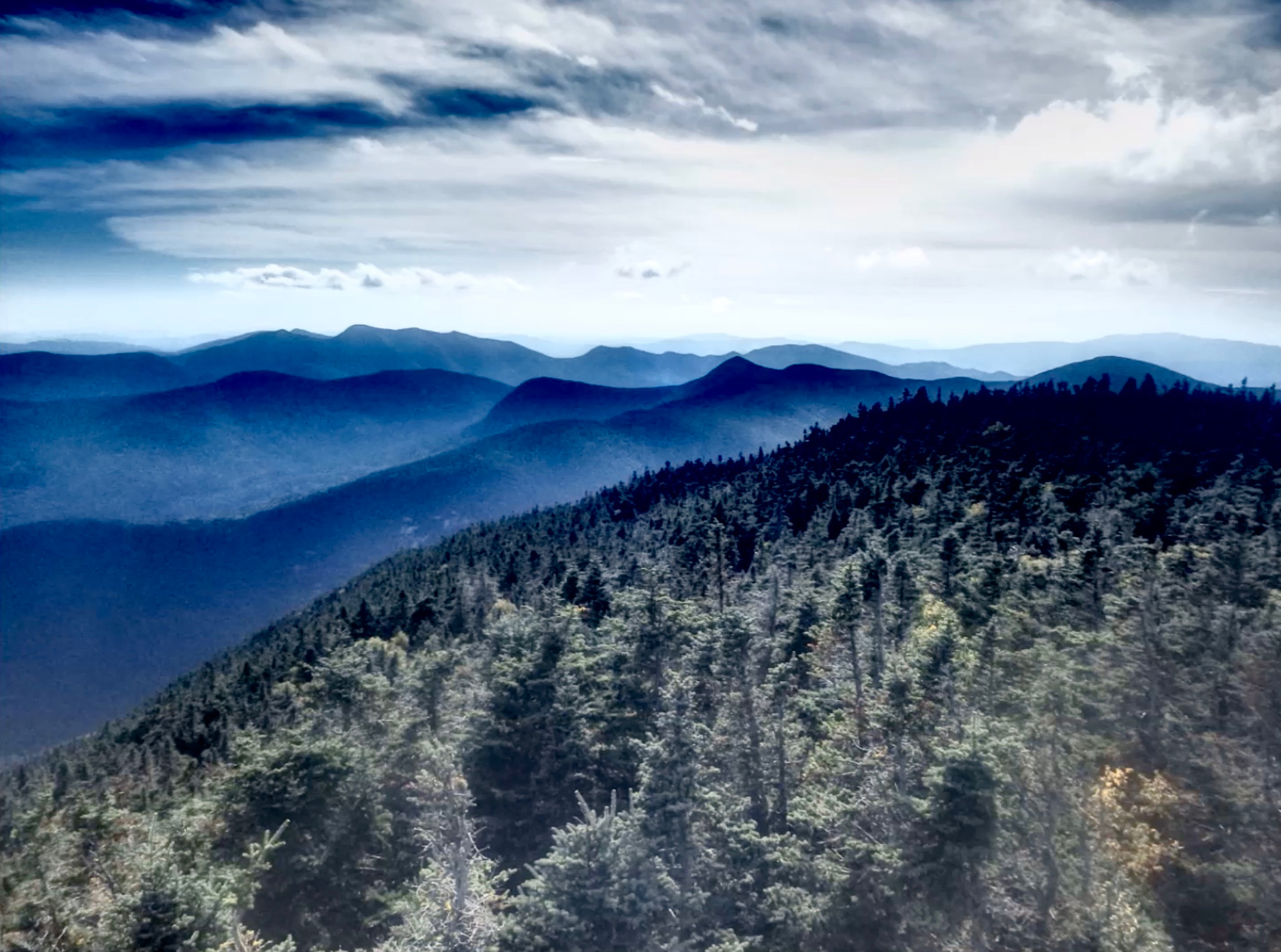
Rejoining at the top, we descended past Mt. Guyot and over to Mt. Bond. The sun was high overhead and we were both feeling the miles with 8-9K of climbing in our legs. Summiting Bondcliff we figured the hardest part was over. Karl had been warned about the seemingly endless stretch along the Bondcliff Trail and it was a true punisher; just flat and straight as far as you could see. The end just would not get closer. We both were fighting off some leg cramps by this point and were relieved when we started seeing people in flip flops and hiking with tiny kids….The end is near!
We stumbled across the bridge and decided that the official end must be at the end of the railing by the wood walkway alongside the ranger station. A quick jump in the Pemigawasset River was super refreshing and prepared us for the ride home.

The exact mileage and climbing is hard to say as I had 30.3 miles and Karl had 32+ on his device. Total time was 9:18.
Gear used: Alta Olympus 2.0, 100oz bladder on a small North Face pack. Karl used a Salomon S Lab vest which worked well. Plan for water at the Hut with a couple other options if you have time to filter at Garfield Pond or go off course to harvest from another Hut. I was overkill on supplies as the weather was mint but I always error on the side of safety.