Pequot Trail FKT - Powerline Running in CT
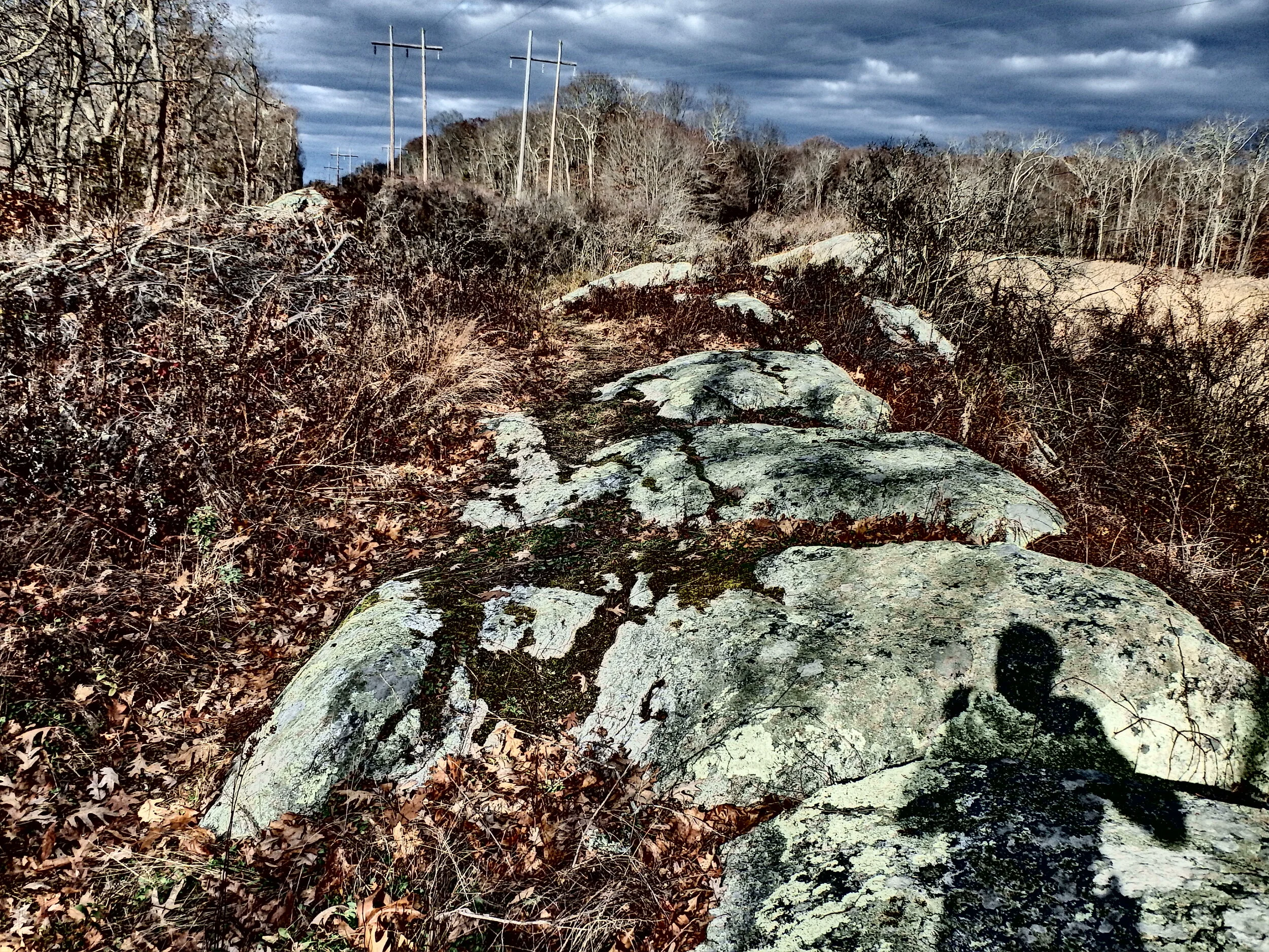
Connecticut, where even the powerline trails are nicer than many other state’s trails. The Pequot is not one of the finest Blue Blazed trails, but it was an entertaining trip through a number of different lands in CT. A couple miles on the northern end crisscross powerlines, which in MA would likely mean some horrific trails with ruts, thorns, and garbage rock footing. This section of the Pequot involved buffed out singletrack, mini rock ridges, mountain laurel, and great views of the surrounding forest and marshes.
While FKT’s are typically lonely affairs, I pulled into the lot at the northern terminus just in time to meet the O’Neil brothers who were just finishing a run and the initial male FKT on the route. They joked that they needed to drive straight home to upload their track, but we hung around talking so long that I became a bit concerned that I did not have a headlamp on me. My concern grew when I quickly missed a turn on my warmup over the first mile of the trail. I don’t enjoy wandering off FKT routes, so I hoped that this was not a harbinger of things to come.
I picked the Pequot for this weekend due to its shorter length (16m) after my implosion at the Blue2Blue race. I figured it would be best to back it down in distance until I had a better base of running volume. This route also avoids the notorious CT traprock, which I had enough of during the race. However, there is one gulley with a destroyed bridge at the bottom, and this maiming bridge of doom that was one of the most awkward features I have encountered. Just no safe way to get past that thing.
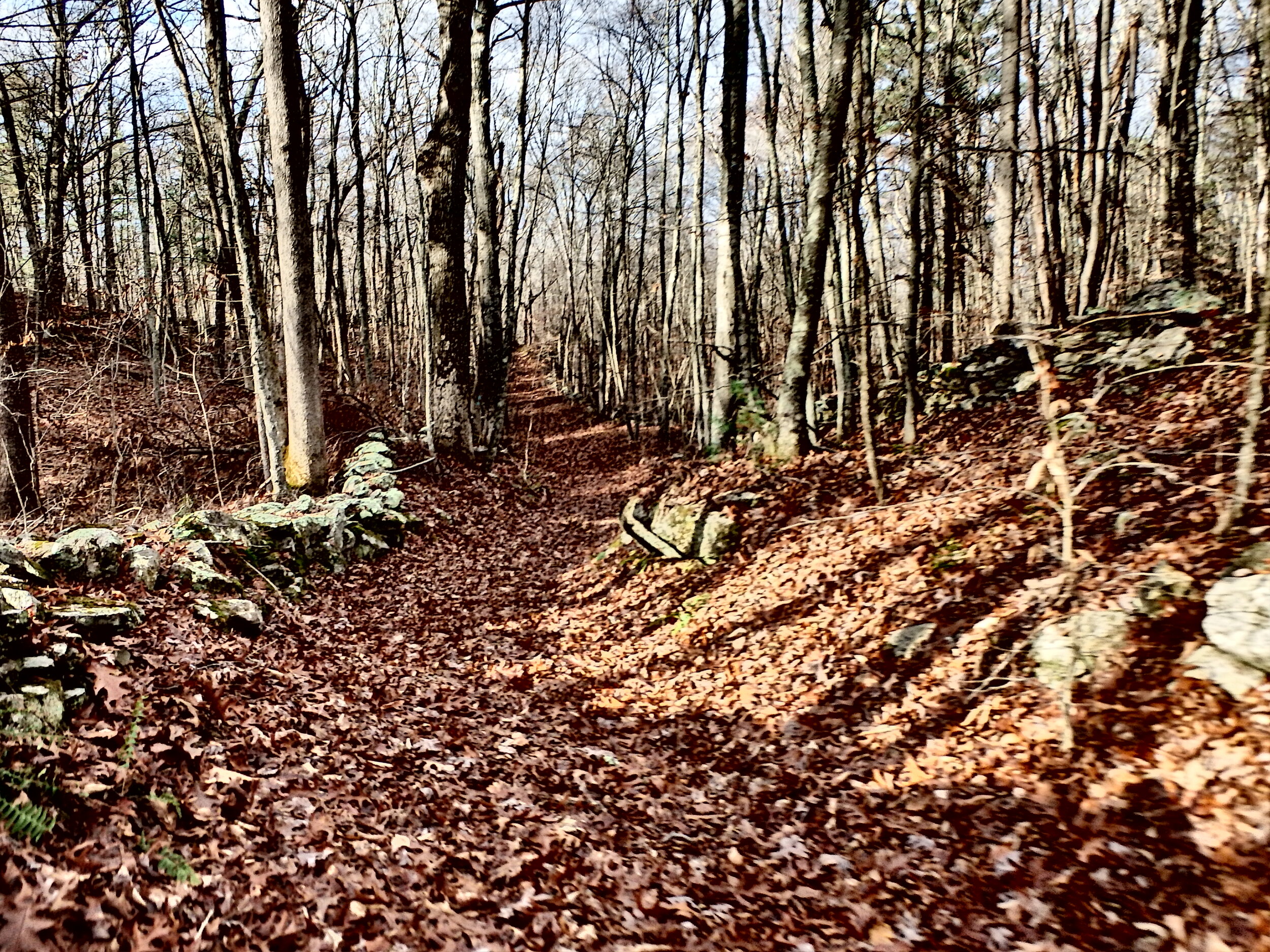
Once beyond that, you move onto the woods roads that account for a good portion of the 16 miles. They are generally easy to follow, but there are a number of intersecting trails and the afternoon sun in my face made it difficult to see the trail markings. The leaves were also quite deep at this point in the fall. I managed to stay on the trail for the most part and made good time over the first few miles that tended to be downhill or flat.

Most of the climbs are in the southern half of the route, and are runnable. I pushed too hard on these on the way out, making them feel taller on the return trip (a few are actually steeper/slower in the northern direction). My pace was definitely a bit slower on the way back, and the sun was also setting. This made for some incredible views of the sunset over the rolling ridges to the west. I would have liked to run more even splits for the run, but I was generally happy with the effort and pace, lowering Robert O’Neil’s fresh FKT by about a half hour. The Pequot is a great long run route with enough climbing and trail diversity to keep it interesting and challenging.