Colorado 14er: Mount Belford (14,202') Mount Oxford (14,158')
Woke up at 2:30am yesterday, drove 90 minutes to the Missouri Gulch trailhead which is off of US 24, along Chaffee County road 390. This is about 8 miles of dirt road which is fine for 2WD vehicles. Has a bit of washboarding the final 4 miles and we had to stay around 10 mph with our van. We have about 55 psi in each tire, the build is light. We can definitely go lower on the psi; which would help, but if anyone has ideas for a better riding experience (suspension, sway bars, sumo springs, etc.) on dirt roads that has washboards, for a Promaster 2500, let us know.
Goal for the day was to summit Belford and Oxford, and if the weather looked good, then Missouri Mountain as well. Despite getting up early, we did get a late start of 5:30am, we were shooting for a 4:30am start but the dirt road took longer than expected. This road takes you to the mile 50 turnaround (Winfield aid station) of the Leadville 100.
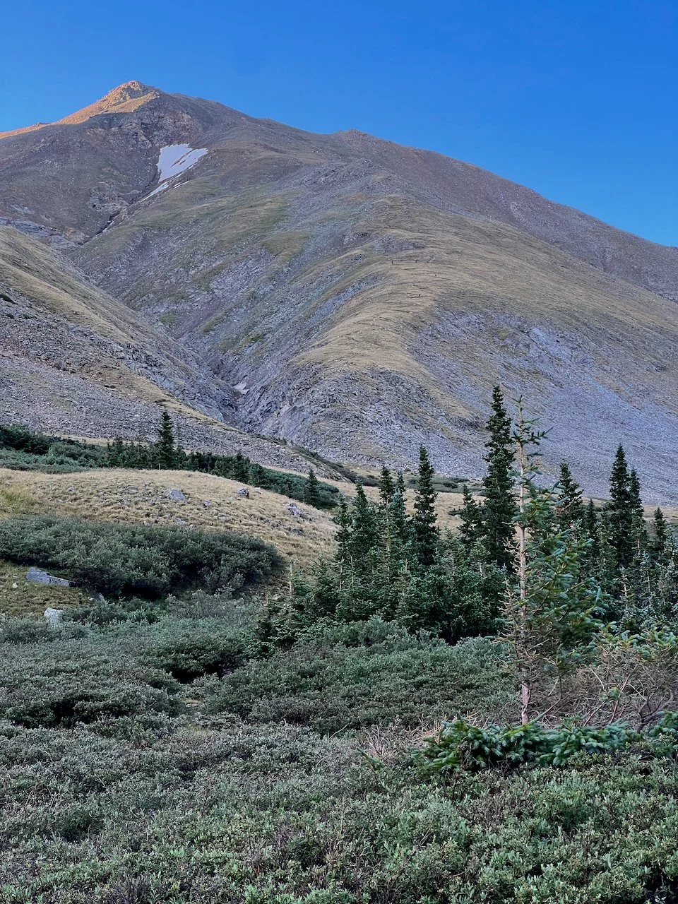
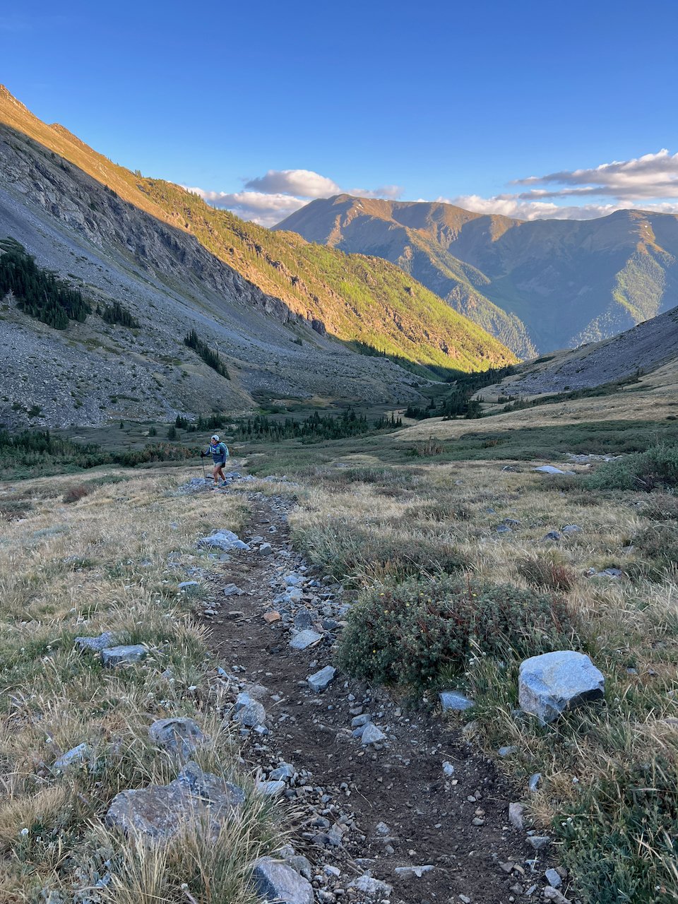
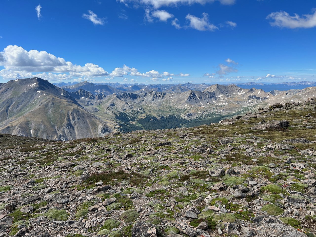
From the trailhead you immediately start climbing and the climbing doesn’t stop until you summit Belford. This is around 4.5 miles with 4,500 feet of gain. About ¾ way to the summit, the sun started to rise above the vast mountains in the area. It was a beautiful morning. This area is a must see, as is the entire Sawatch Range. It is hard to describe the beauty.
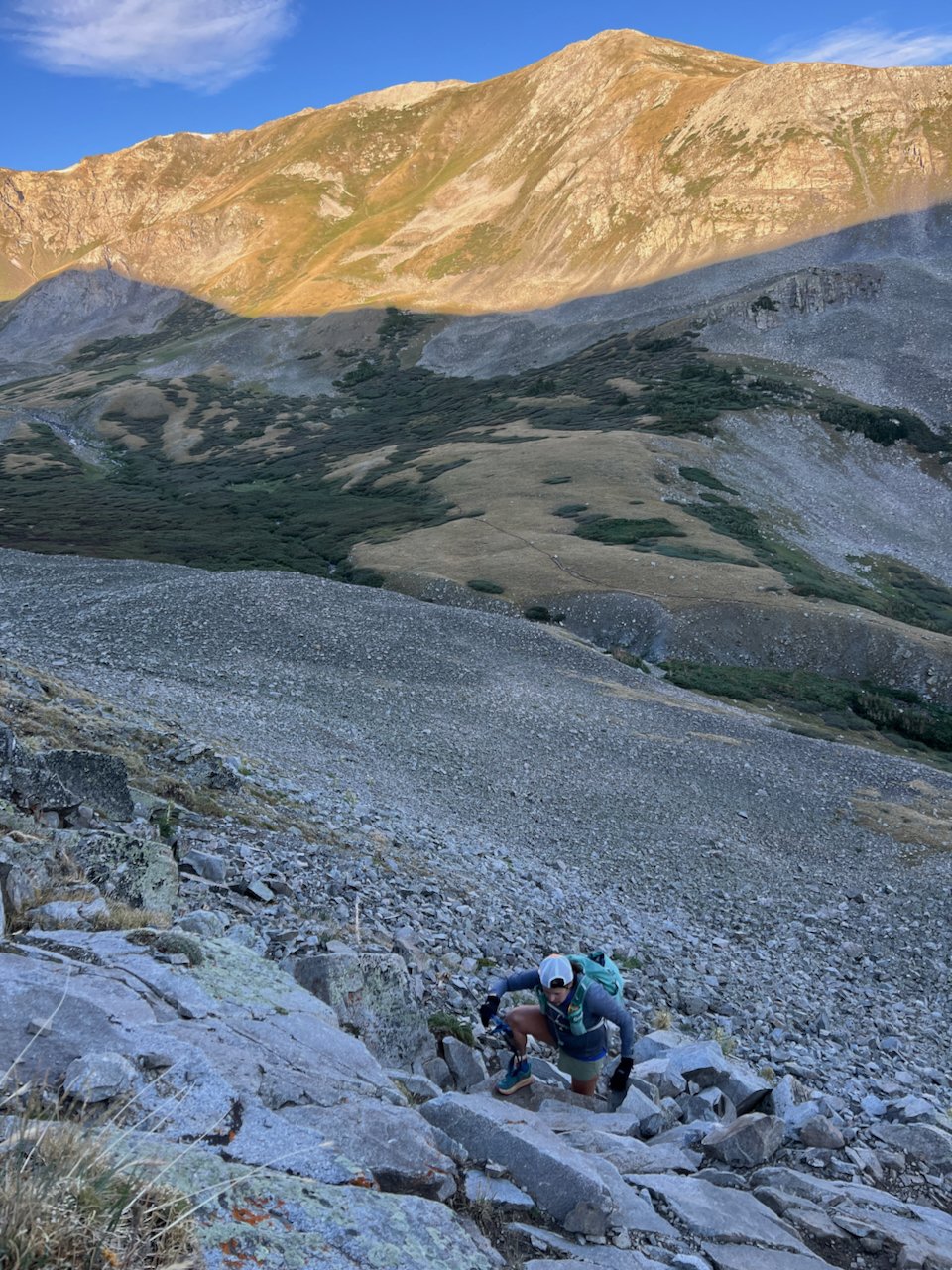
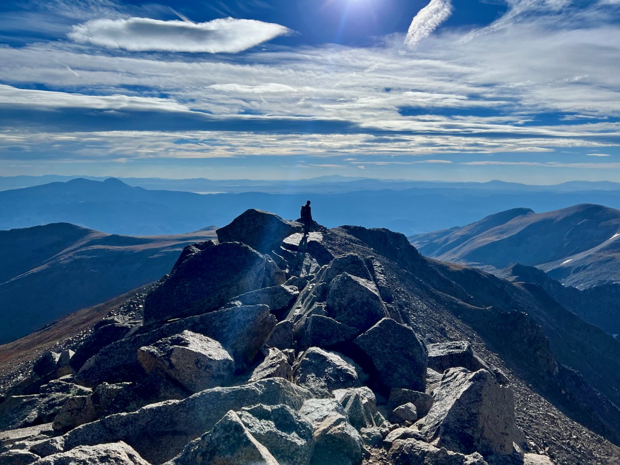
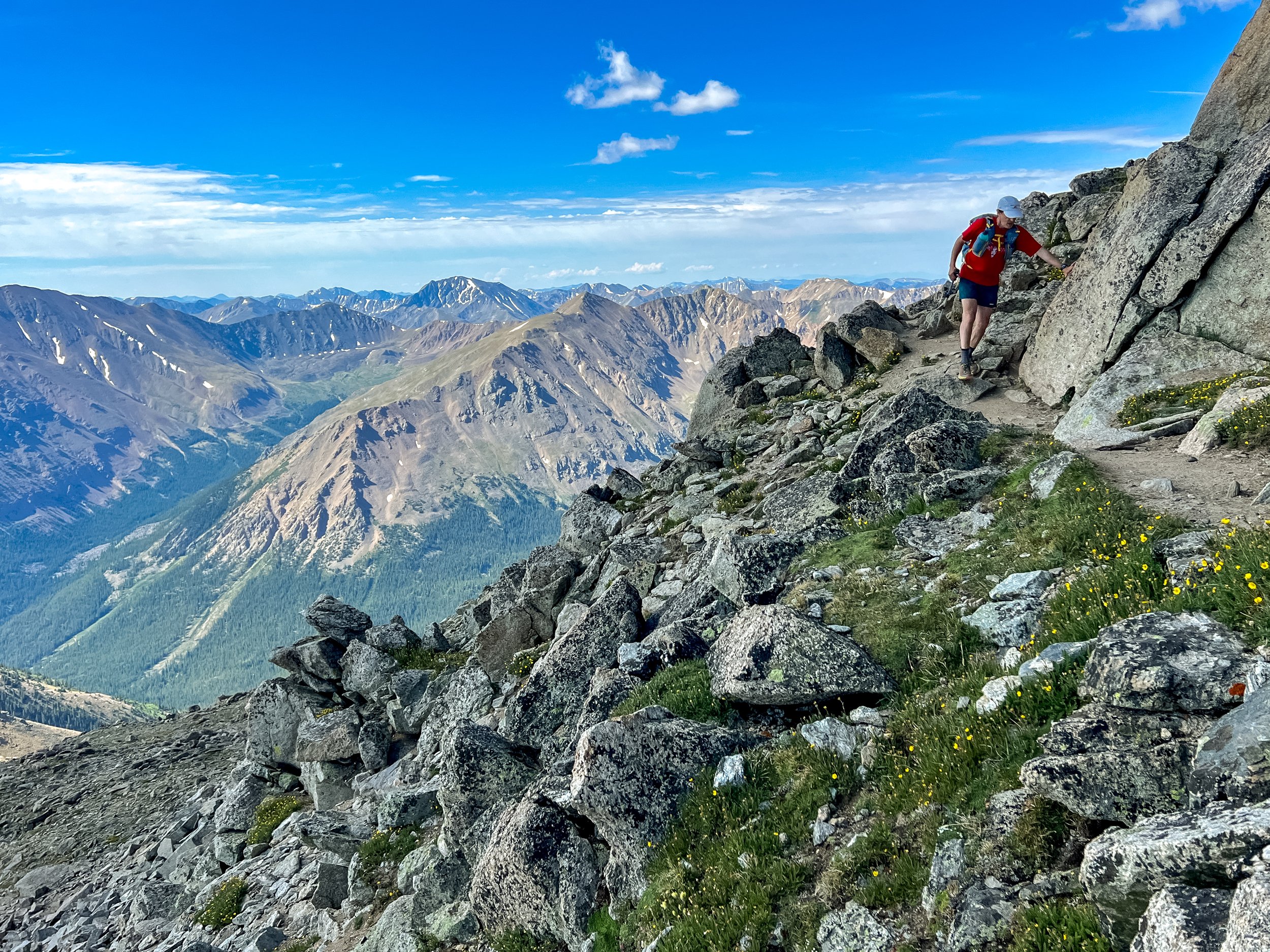
From Belford it is a quick jog to the Oxford & Elkhead Pass junction and a fun 650ish foot descent down to the base of the climb and then 650ish feet up to Oxford. This is a steep loose section and you will need to come back up this way to head towards the Missouri Gulch Trail or back over Belford to make it back to the parking area.
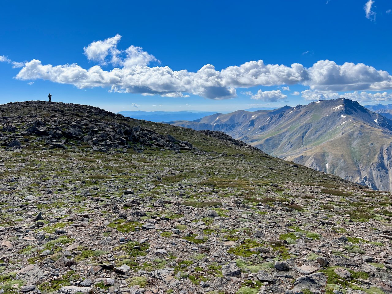
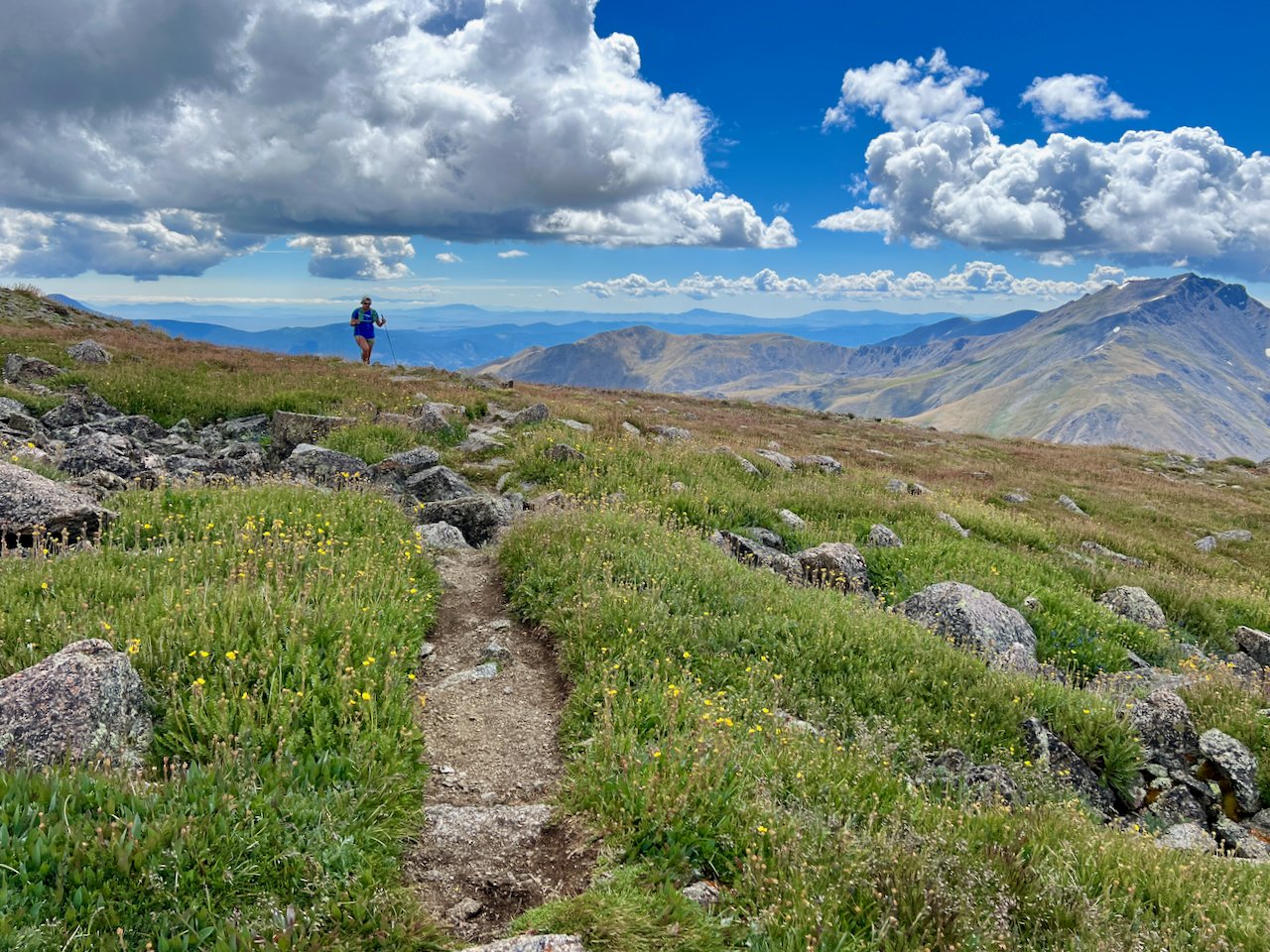
After summiting Oxford and scrambling back up to Elkhead Pass, we made our way down the Missouri Gulch Trail to the trail junction leading to Missouri Mountain. Clouds moved in pretty fast and it started to rain lightly. We spent a little too much time on top of Oxford so we bailed on our Missouri attempt and enjoyed a nice run down to our van.
You have a couple of route options for this area. Many will do an out & back to Belford and Oxford, some will continue to summit Missouri next, hitting all 3 fourteeners in the area, and others will complete this route counter clockwise; which we plan to do next time by starting with Missouri and then making our way up to Elkhead Pass. If you are just planning on Belford & Oxford, we recommend taking Elkhead Pass down to the Missouri Gulch Trail after summiting both mountains. This avoids the steep descent down Belford and gives you more area to explore without adding much time to your day.
As with all fourteeners and anything above treeline where exposure will be high, be sure to know what the weather potential is for your area. Clouds and storms can move in fast, even if it seems like a perfect weather day. Study the route, ask questions, learn as much as you can about weather and bring all of the gear essentials. The more challenging the route, especially near the top of class 2, 3 & 4 routes, your exposure can be long. High winds can make something that may seem as simple as taking layers out of your bag to put on, extremely difficult, with a chance of losing gloves, hats, etc. as you're making the change. Find a safe spot to layer up and try to anticipate and do so before exposure becomes too great.