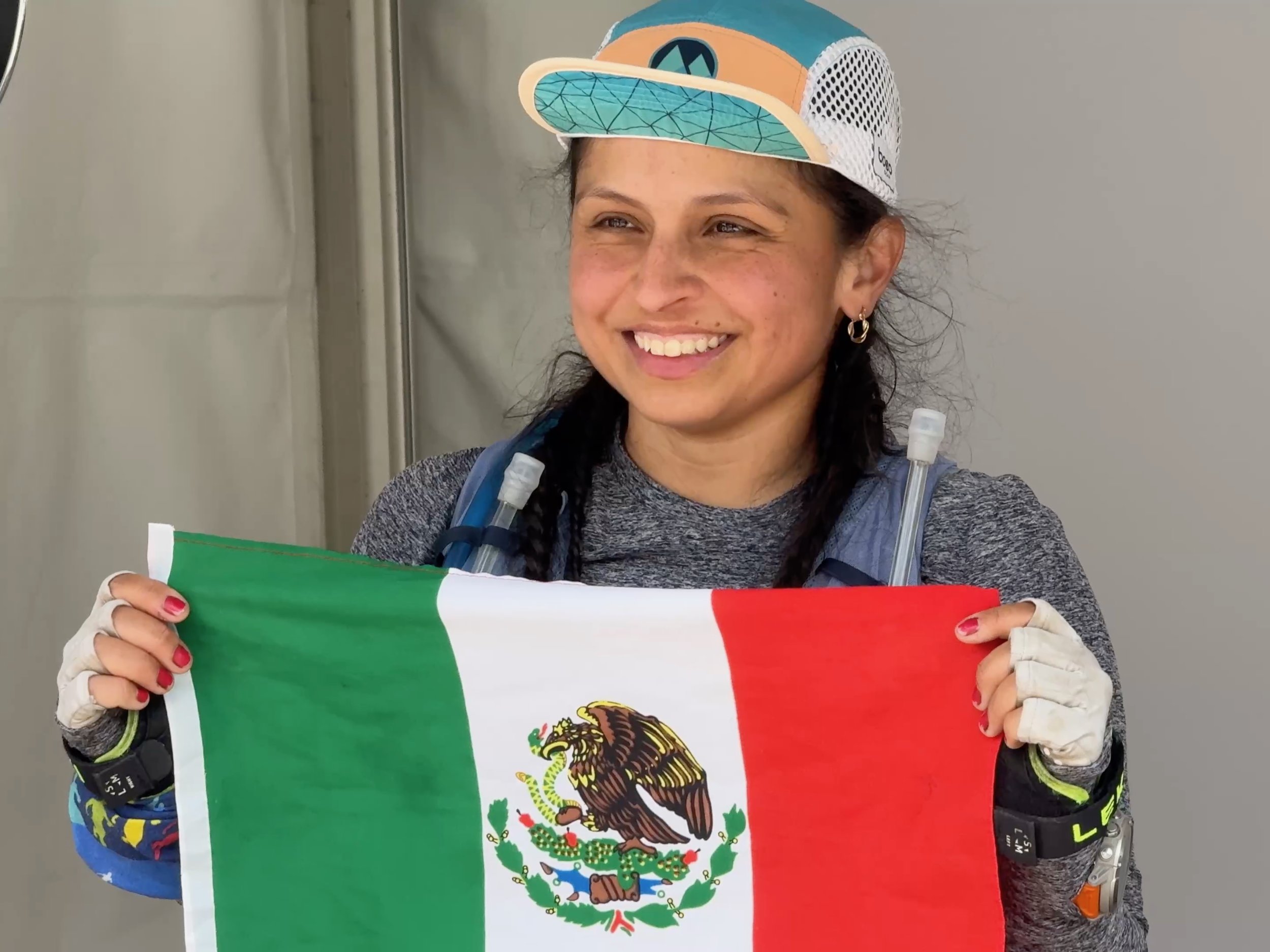
Mountain Fun in the Catskills of New York "Barkley Style" by Mike Siudy
Earlier in the year I completed a (50 mile) double Devil’s Path traverse with Jay Lemos and Scott Gregor. It was one of the most challenging days (and nights) I’ve had in the mountains, but also very rewarding. A few weeks ago, Scott won the Barkley Fall Classic 50k in Tennessee and was awarded a highly coveted slot into the Barkley Marathons next spring. As the Barkley has large sections off trail with no course markings, Scott reached out to me to get some bushwhacking experience this fall. From conversations during the DDP, I also knew that Scott is peak bagging each of the mountain ranges in the northeast. So… I devised a loop in the north central Catskills of 20+ miles mostly off trail that would give Scott a good taste of the backcountry, tag him a few new peaks, and give me a couple new Catskill hundred highest peaks for that never-ending list.

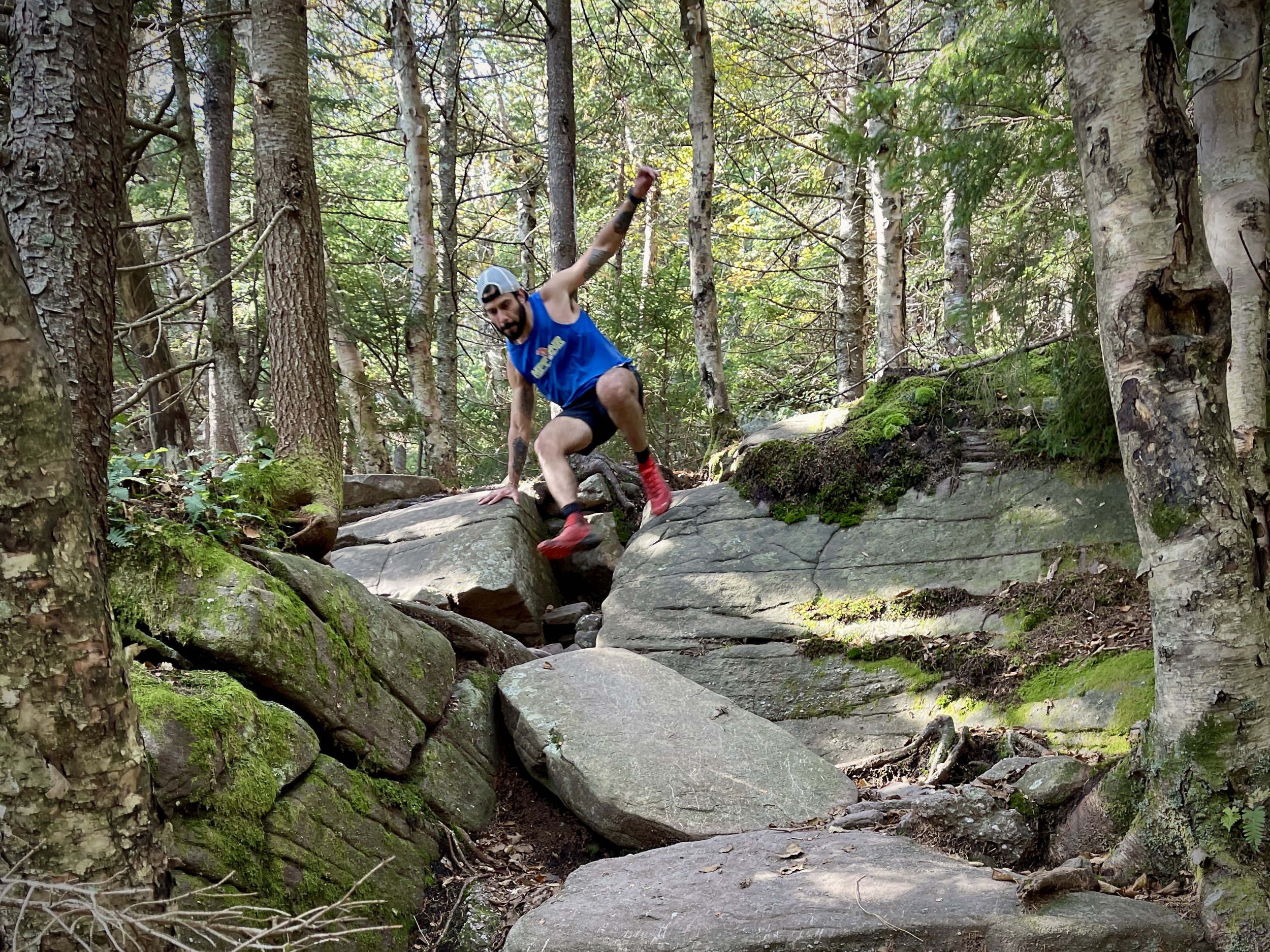
Scott drove to my house in New Paltz from CT on the morning of 10/21. I hopped in and we drove up to the DEC pullout a short distance down Spruceton road. As we got out of the car at 8:30AM, we were greeted with frost on the grass and a nice chill to the air. Our first goal for the day was Sherrill Mt. via the NW ridge. This is a route that my friend Cory Delavalle showed me a few years back and I have used a number of times completing the “Grid” due to its lack of nettles and prickers. We cruised up the 2000 ft. ascent to the summit in a little over an hour, and Scott got to sign into his first canister of the day. A quick summit photo and we were off to North Dome. A perfect line gained us the peak in 1:45 from the car.

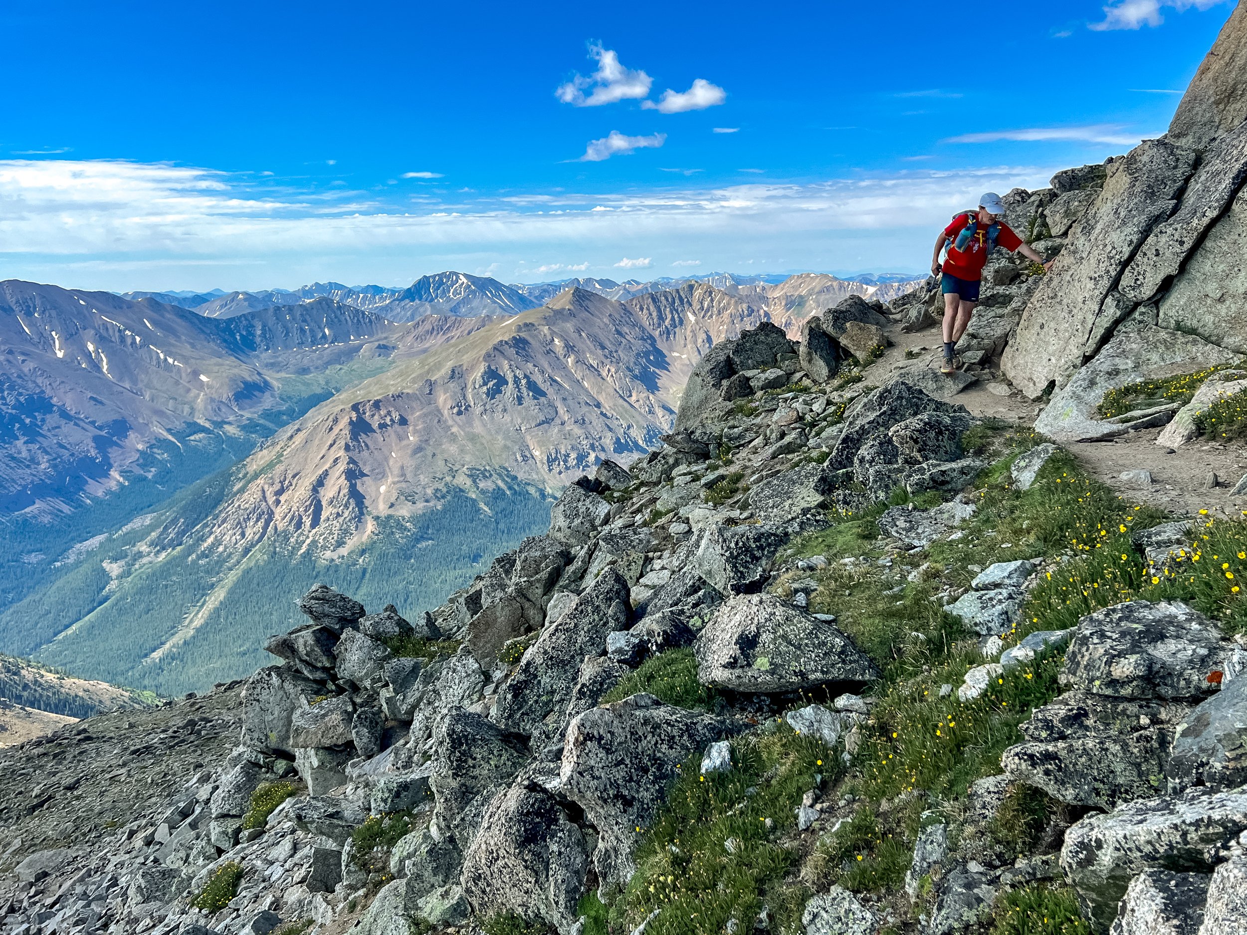
Next was the steep rocky descent to the east down to the Devil’s Path. We carefully picked our way through and reached the trail without incident. As we ascended towards Westkill, the temperature had begun to climb a little but were staying comfortable. We tagged the peak in about 3:10 and headed downhill. The view from Buck Ridge lookout was clear, and we stopped to chat with two hikers for a minute. Now the fun began.
At about 3,450 ft. there is a little plateau of the east edge of Westkill that points into Diamond Notch. We hopped back into the woods and before long, were slipping and tripping our way down. This descent drops 800 ft. in 0.5 miles bringing us in to the notch. We were then treated with a 1000ft. + ascent in 0.85 mi. up the west side of SW Hunter Mt. A few really dense patches of pine that had Scott and I saying “ouch” and “shit” a lot, gave way to the summit herd path in 4:50. We were relieved to be back on trail, at least for a while. The easily followed herd path leads back to the Devil’s Path for a short distance, until we needed to turn off to head up to Hunter Mt. We climbed the fire tower at our high point for the day, and ran down the Spruceton Trail. On these long days with lots of hiking it often feels good to run, stretch the legs out, but the old jeep trail down Hunter is just brutal. It is a steep recently re-graveled, wide trail that makes for an excellent backcountry ski but that’s about all. The only thing it offers is a spring where we indulged in some nice cold water and refilled our bottles.
I had thought that maybe the loop would take us 8 hours but as we re-entered the woods around hour 6, I know that would be a pipe dream. The climb up to East Rusk and Rusk is never too steep but is very thick in spots. It makes for slow going and a lot of scratching and poking all over your body. The first 2 miles took us about 45 minutes. As I was experienced with all of the terrain up to this point, I had been navigating by memory. All the while, sharing with Scott some of the things I’ve picked up over the years like how not to go off the side of a ridge and how to navigate with your shadow. As we passed Rusk, I was in unknown territory. We were basically going west over three more peaks, but as private land reaches close to the summits, I wanted to make sure we stayed on forest preserve land.

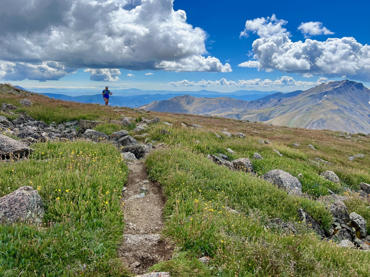
The terrain over to Evergreen Mt. was gently downhill, not too thick or steep, but nonetheless the going was slow. When we arrived about an hour after we left Rusk, I thought we were one peak further, but a quick GPS check discovered the disappointment. We continued westward where an 800 ft. descent and 600 ft. ascent brought us to Pine Island, a CHH peak. The problem with hundred highest peaks is the views are often nonexistent. It was nice out there, but Pine Island didn’t deliver anything special.
We kept moving and found a woods road. Finally, a clear path with no more branches in the face and we could run, at least for a while. We dropped around 500 ft. and came to the base of a steep, rocky climb. In classic Catskill fashion, at the top of each uphill, as you think you’re at the top, there’s another uphill. Ugh.
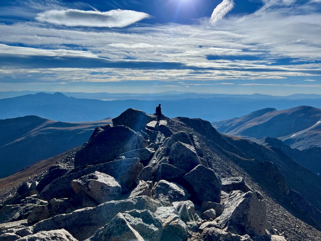
We were tired, bleeding a little, hungry, and ready to be done as we summited Packsaddle Mt., our last peak of the day. It was 5:30pm, 9 hours after we started, and the Sun was getting low. We had to turn to the SW to follow the state boundary line back to the car. I was thrilled to see an old stone wall that we must have followed for over a mile. The woods alternated between nice open runnable terrain and ankle breaking rock gardens. As we approached a rocky section, a branch caught me toe and I took a good fall. I ended up with my feet uphill in between two rocks laughing. A couple hundred feet later, I was hiking across a flat rock and both feet flew out from under me and I landed on my elbow. I was not laughing.

As we approached the road, we had one last obstacle, the Westkill brook. Fortunately, water levels were low, and we rock hopped across, went through a field, and hit the road 200 feet from the car. The stats for the day were 25 miles in 9:40 with about 8,500 ft. of gain. The real number is that 17 of those 25 miles were off trail. We climbed 6 Catskill 3,500 peaks, 3 hundred highest, and 2 other named summits. There has been some discussion and preliminary planning to make this a four loop “Barkley” style event in 2018 or 2019 so if anyone thinks they’re crazy enough to try this let me know.

I had a blast out there with Scott. We had lots of good Barkley training and strategy conversations and the day reinforced my confidence in navigation, as I have been relying on experience. When Scott was talking about his plans for later in the fall, specifically next weekend, I was intrigued.