FKT Report: Kinsman Ridge in New Hampshire by Ben Nephew!
Date: Sunday, September 20th, 2015
Location: New Hampshire's White Mountain National Forest
Adventure: Kinsman Ridge FKT - 15 miles, 6,850 feet of elevation gain.
FKT: 3:41:27
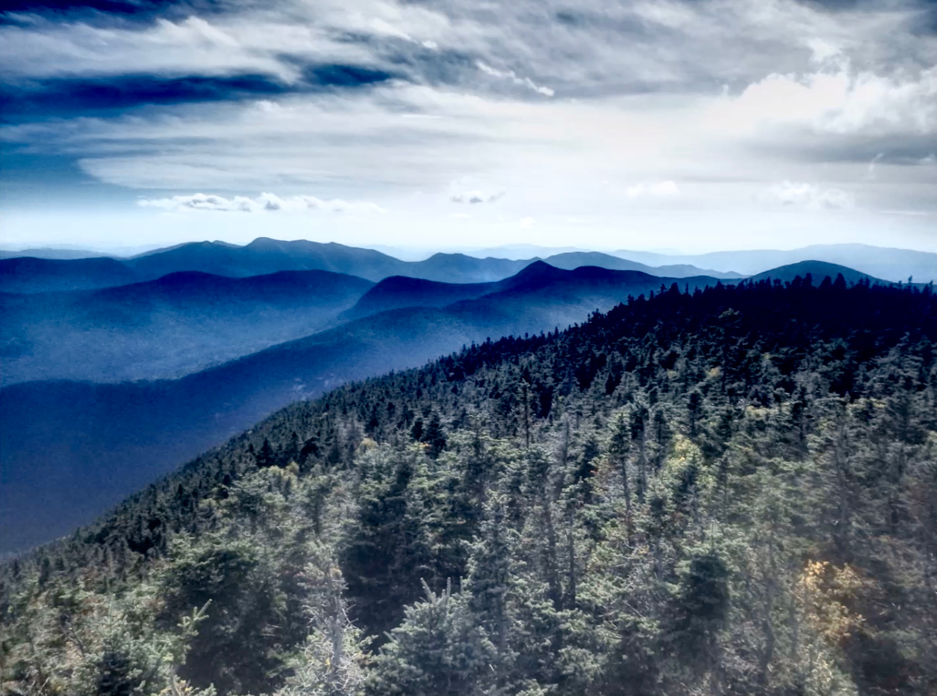
Many of the major northeastern mountain ridges can be accurately summarized by their overall length and elevation gain. The Kinsman Ridge travels from Cannon Mountain over North and South Kinsman mountains to route 112. At 17 miles and 7k feet of climb with an FKT of 3:41, this trail does not seem very impressive compared with the Presidential Range, Carter Moriah Range, Mahoosuc, etc. You have to look at a few details to get a proper perspective of the route.
To start, the first mile climbs 1700’; in your face. That is one of the steepest miles in the east. After the only runnable 0.1 mile on the entire route over the summit of Cannon, you then descend into the Cannonballs. I will now list some consecutive grade values from the first descent on the Cannonballs Strava segment. To put this into perspective, it is rare to see a value over 45%, and extremely rare to see a value over 50%. Make sure your shoes are laced up nice and tight….beep, beep, beep, BEEP!!!!!!!!!!!!!!

-56%
-63
-62
-57
-55
-52
-47 Flattens out for a bit…
-50
-47
-56
-58
-47 You get a bit of break, and then it really gets steep
-49
-47
-38
-110 Ropes would be good, rosary beads would be more useful.
-53 At least it is followed by some easier grades…
-81
-72
-55
-52
-53
-54
I’ll stop there, but there is another 60%+ section at the bottom of that first descent. The terrain on this descent looks like Aiden’s box of wooden blocks. Level foot placements are nonexistent. It is a wild ride to say the least, followed by some similarly steep ascents. Once you get past the Cannonballs, you are treated to stiff climbs up to North and South Kinsman, and that is all in the first 7 miles. The 2k drop over 2 miles from South Kinsman is a quad wrecker, with a dirty steep upper section which backs off towards the bottom. Strangely, at least 99% of the turns on this long descent are to the right, and the same is true for the entire traverse. While that first half surely includes a number of unique features of the traverse, the technicality of the last 8 miles may be the defining feature. I think my longest stride over these miles was about 6 inches and my average stride rate was 200 per minute. You cannot take your eyes off the trail. My Garmin was announcing mile splits, and I could not afford to glance at the majority of them. The typical position of runners and hikers on this trail is similar to a 13 year old with a smart phone.
My FKT attempt started with my “friend,” Michael Robinson, the current FKT owner at the time, trying to ice me before the start. He was nice enough to drop me at Cannon, but he did so about a half hour before sunrise, and I had to wait around until it was light enough to run. I had plenty of time to stretch and warm up, and started up Cannon at a decent pace. For some reason, I wanted to run the first mile in 21 minutes. At 23 minutes, that didn’t happen, which is most likely a good thing for the remainder of my run. You don’t want to try to maneuver the Cannonballs with wasted quads, and the rest of the route is not all that much easier. The focus required over the Cannonballs is pretty intense, and I had to remind myself to breath on some of the descents.
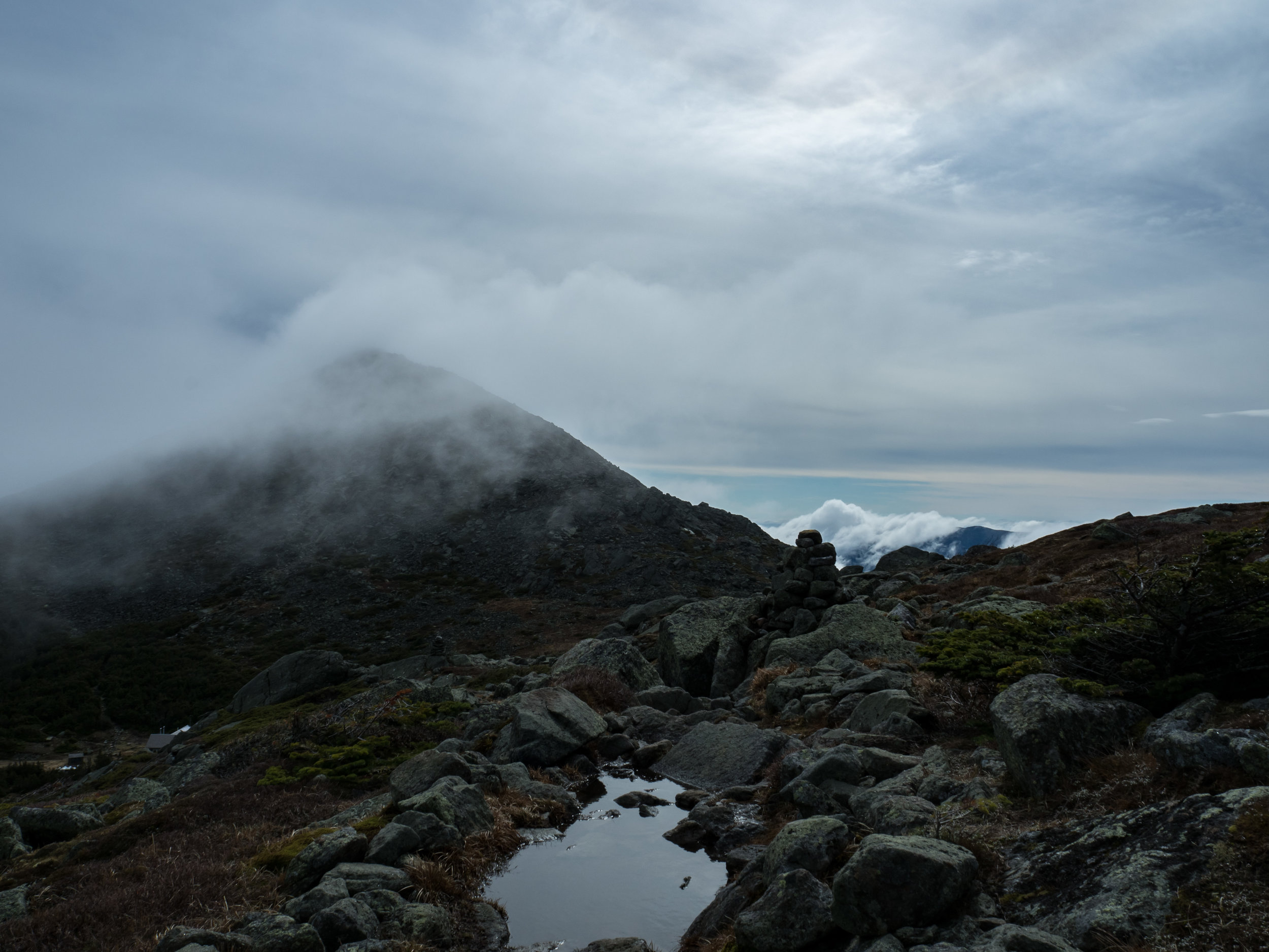
The climbs over the Kinsmans were relatively quick and included an unexpected bit of open ridge running. As with my Whiteface Passaconaway run, there were no views due to blowing cloud cover and my early morning start. I had to use every bit of grip on my Orocs to stay on the trail on the descent from the Kinsmans. The turns are steep, narrow, and severe. My one fall of the day was coming off of South Kinsman, and luckily I bounced off my waist back which prevented a major Kinsman kick in the rear. There were a few other close calls that involved Matrix-like slow motion moments where I just threw a foot and/or hand out and prayed for traction and/or balance.

I spent the second half of the run unsuccessfully trying achieve some sort of speed. These miles are incessantly rocky and rooty, and generating and maintaining momentum is difficult to say the least. For variety, there are some unexpected boggy areas. One is apparently waist deep, and I thought I was going to become completely submerged as I fell forward. The lack of major climbs over the last miles makes this a faster trip, but the rocks and roots offset some of this benefit. While I had been told how technical this route was, I was at least hoping to make good time in the last mile. That did not happen; the trail is rough and steep all the way to the road. No free miles on the Kinsman Ridge!